Longitude: 12°30'5.48"E
elev 112 ft.
The Appia Antica, also refered to as the Appian Way, is the most publicized and accessible Roman Road. The road passes from Rome south, then southeast to the coastal town of Brindisi.
 |
| Source: http://en.wikipedia.org/wiki/Appian_Way |
The photograph below illustrates the Italian comittment to archeological sites by routing the modern road well under the Appia Antica park.

This black and white image below is an image from the American Academy in Rome Photo Archive of the Porta San Sebastiano. What makes this photograph unique is the aerial perspective. There is a current ban on aerial photography in Rome.


The second day we were in Rome I decided we needed to walk on the Appia Antica. On the map it didn't look like it was too far from the American Academy, so I dragged Janet along and we ended up walking for about 3 hours before we reached the Aurelian Wall. Our destination was the Catacombs. We walked the section of road below terrified that we were going to be hit by a car. The large walls on either side of the road made it impossible to step back from the traffic, and of course, the shoulders were minimal. We kept expecting the road to open up a little, or for a sidewalk to appear. Eventually we had walked far enough so that turning back wasn't an option.
Another hour into our walk and we reached a far more enjoyable section of the road, where we found ancient pavers intact. By the time we got here it was getting too late in the day so we found a bus that took us back to Rome.

The following Sunday, when I knew the whole road was closed to traffic, I rented a bike and traveled the full 6 mile stretch from the Aurelian Wall to where the old Appia meets the new one.

Many aspects of the road remain the same as they did 2000 years ago. Archeological sites are plentiful. Note that in this sequence of pictures it is easy see the Roman walls that define the boundary of the road as well as the Roman surveyor's ability to create a remarkably straight route.

Sporadic sections of ancient pavers can be found throughout the route. They generally blend into a cobblestone surface, though on occasion single stones can be found left intact while surround by a more modern surface.

Many of the ruts or wear marks from the Roman wagons and chariots have been filled with concrete in an effort to smooth out the road.

I'm not sure how the preserved sections were chosen. In some cases they look like they may have been dug up and then replaced at a later time, and in others they appear to have remained intact since 312 BC.

In addition to the archeological features surrounding the road, there are many gated villas in the area closest to Rome.


Walking and bicycling on these surfaces was rough. A fairly smooth cow path along the side the road provided a more comfortable ride.

It was entertaining when a car would come along. The ancient pavers and modern cars don't mix well. Most of the time they would try to drive with one wheel, or two if they could, on the grass beside the pavers.


Here's a picture (below) of a gated villa where ancient pavers have been dug up and reused to create a driveway. There is no apparent consistency to their arrangement.


Eventually the useable section of the road ends and turns into a narrow path. This was the most interesting section.

For another mile or so you could still find pavers, untouched, slightly buried and overgrown.

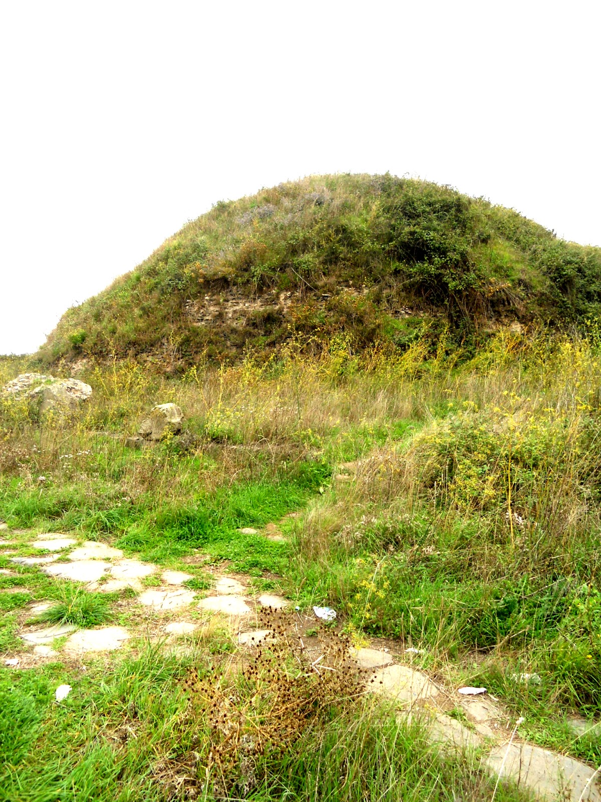
Alternate routes around the pavers were still prevalent as you can see in the photo below. The large mound on the right is an unexcavated tomb.


The original stone boundaries of the road are still intact helping protect the road from encroaching farmland.

Directions
View Via Appia Antica in a larger map
No comments:
Post a Comment